Monday, 3rd October 2016
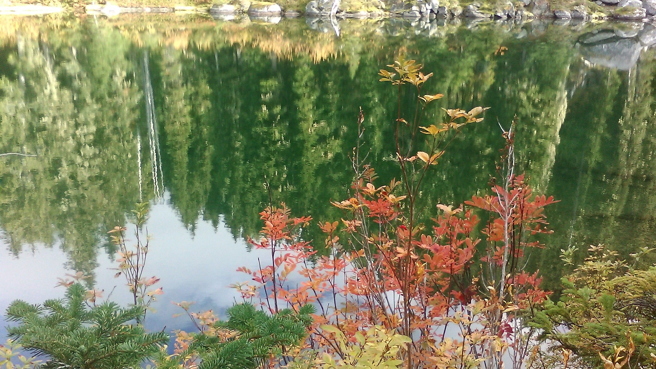
Forest above Chuck River - campground under trees on ridge above Vista Creek valley on NE slope of Glacier Peak
Mile 2505 - 2529
Total 24 miles

Under protection of tree cover, the night was mild and dry except a few water droplets falling down from the branches. At the first light I was already back on the narrow path, first heading through old growth forest on the flat bottom of the Chuck river valley and passing a pair of hikers who were just getting out of their tent, then starting a steep ascent to the west facing slopes of Glacier Peak. One of the streams flowing out of the glaciers is Kennedy Creek with a halfway-broken, but well functioning wooden bridge.


From there the path followed a contour with alternating uphills and downhills, crossings of silty streams, and views of clouds covering the surrounding valleys.


On the path I met an unexpected person going from the north: the hiker "one eleven", whom I last had seen in the desert of southern California. He had decided to skip to the Canadian border and from there travel across Washington state from north to south and now he gave me good suggestions about the upcoming trail section around Glacier Peak and further north. After several more uphills and downhills, the trail reached a high elevation saddle with more views of the North Cascades and patches of snow on the slopes of Glacier Peak's massive cloud- covered summit.


up in the Fire Creek Pass saddle at 6500 ft elevation the soil was frozen, the air was chilly. From there the path descended steeply to a deep glacial lake. On the lake shore I cooked couscous for lunch, surprised how far my feet already carried me today (13 miles).


More views of the ridges of the North Cascades: somewhere far away in between the almost endless parade of deep forested valleys and rocky ridges, but less than 100 miles to the north as the crow flies, goes the USA - Canada boundary. However, the mountainous wilderness continues from here much further north, across the western part of Canada into Alaska, towards North America's highest peak of Denali (also called Mount Mc Kinley), until it is interrupted by the fast and ice-cold currents of the Bering Strait that separate the Americas from Asia...


Aided by numerous switchbacks, the narrow path descended deep down into the valley of Milk Creek. The stream got its name because off its color. The change of elevation is clearly visible on the vegetation; at 3000 feet, colorful maples dominate in the forest.


After crossing Milk Creek, the path started climbing again from 3000 to almost 6000 feet of elevation. Thanks to the intelligence of smart people who surveyed the PCT route and thanks to the hard work of many volunteers, the path overcomes the large difference by more than forty switchbacks. More than forty, because I only started counting them half mile after the bridge over Milk Creek :-) During the climb I watched vegetation changing from maples to various conifer trees again and clouds filling the valley below. The most impressive sight was looking at the large glacier at the rear end of the valley with various landforms that I had only known from geology books. In the middle of the
in the next photo we can see a perfect example of a nunatak: a sharp needle-shaped rock, sticking out of the mass of the deep and perpetually moving ice.


From top of the climb, the path took a gentler course through a mysteriously enchanting landscape of isolated rocks, meadows, springs, boulders and groups of mountain hemlock trees. The delicate veil of mist and low clouds covering the surrounding valleys was becoming thicker and thicker as evening darkness quickly approached.


It was about time to start looking for a sheltered and protected spot for spending the night. Shortly after the trail started descending towards the deep valley of the Suiattle river, I found a perfect camping spot under thick cover of for and hemlock trees. Pitching my tent under one of the trees and putting the folded tarp and sleeping pad and plastic bags inside for extra warmth, I hoped that any rain falling during the night would only be light and soon closed my eyes in deep sleep after a long but beautiful 27-mile hiking day.