Plochý hřeben severně od jezera Rockpile - sedlo jižně od jezera Ollalie s výhledem na Mount Hood
Míle 2013 - 2035
Celkem 22 mil


Když se v druhé půlce noci probouzím, přímo nad hlavou mi svítí souhvězdí Pegas. Je to další signál nastávajícího podzimu. Ráno padá na horské louky rosa a přes hřeben se převalují chuchvalce mlhy. Z lesů se kouří a lesní půda voní houbami. Nad borůvkovými a houbovými lesy trůní částečně zaledněný vrchol Mount Jefferson.


Po včerejším dešti se na povrch klubou stovky hub, které neuvěřitelnou silou prorážejí tuhý půdní povrch. S kopáním jam mám každodenní zkušenost a tak vím, že i s polní lopatkou není jednoduché prorazit tlustou vrstvu napěchovaného jehličí. Z hub poznávám muchomůrky a blíže neurčené druhy holubinek. Na hřibovité houby jsem zatím po cestě nenarazil.


Kamenitými svahy s výhledem na ledovcové jezero stezka sestupuje k potoku, napájeného tajícím ledovcem. U potoka kamarádi Bluecheese a Desert Steve suší stany a spacáky. Přidávám se k nim a na kameny rozprostírám rosou promočený spacák. Mezitím vařím k obědu kuskus a píšu do mobilu zápisky. Právě tehdy, když si pochutnávám na kuskusu, se náhle rozfoukává vítr a odfoukává spacák přímo do potoka ... Sluníčko ale naštěstí má ještě sílu a za další hodinu je spacák dokonale usušený.


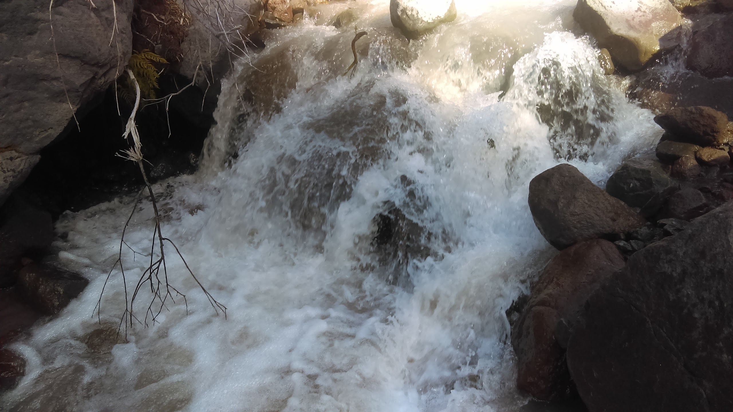
V dalším úseku pěšina střídavě stoupá a klesá západním úbočím hory Mount Jefferson. z ledovců vytékají potoky šedé a hnědé barvy.


Po pěšině pobíhají veverky se šiškami v zubech. Jedna z veverek nechala nedojedený oběd přímo na pěšině. Les stále voní houbami a ve svahu nad stezkou v trávě vyrůstá mohutný jedinec, který svým vzrůstem připomíná kozáka nebo křemenáče.


Následující úsek trasy připomíná lesopark. Střídají se zde jehličnaté lesíky, jeřabiny, kupy kamení, jezírka a mokřadní louky. Poutníkům se nabízí pohled na ledovec na severním svahu hory Mount Jefferson.


Za "lesoparkem" stezka prudce stoupá vzhůru. Nabírám vodu v horském potůčku a z dálky obdivuji ledovec. Rozsah ledovce se zdá být o něco menší, než ukazuje mapa. Globální oteplování se podepisuje i na stavu ledovců na americkém severozápadě. Přesto si myslím, že tento mohutný ledovec nejméně příštích pár desítek let přežije.


Stezka vystupuje nad hranici lesa na holý hřbet. Na severu se otevírá pohled na další osamocený sopečný vrchol: Mount Hood, nejvyšší bod státu Oregon.

Několik hajkrů - zimomilů se rozhodlo utábořit přímo na hřebeni kousek od sněhového pole. Já jdu dál s cílem sejít aspoň pod hranici lesa do závětří.


Koruny stromů na horní hranici lesa mají vlajkovitý tvar. Kamenitá stezka sestupuje do sedla, kde se znovu otevírá pohled na Mount Hood.

Odbočuji že stezky do lesa a mezi balvany objevuji plošinu zhruba o velikosti karimatky. Zde se pod širákem a v závětří ukládám ke spánku.
Míle 2013 - 2035
Celkem 22 mil


Když se v druhé půlce noci probouzím, přímo nad hlavou mi svítí souhvězdí Pegas. Je to další signál nastávajícího podzimu. Ráno padá na horské louky rosa a přes hřeben se převalují chuchvalce mlhy. Z lesů se kouří a lesní půda voní houbami. Nad borůvkovými a houbovými lesy trůní částečně zaledněný vrchol Mount Jefferson.


Po včerejším dešti se na povrch klubou stovky hub, které neuvěřitelnou silou prorážejí tuhý půdní povrch. S kopáním jam mám každodenní zkušenost a tak vím, že i s polní lopatkou není jednoduché prorazit tlustou vrstvu napěchovaného jehličí. Z hub poznávám muchomůrky a blíže neurčené druhy holubinek. Na hřibovité houby jsem zatím po cestě nenarazil.


Kamenitými svahy s výhledem na ledovcové jezero stezka sestupuje k potoku, napájeného tajícím ledovcem. U potoka kamarádi Bluecheese a Desert Steve suší stany a spacáky. Přidávám se k nim a na kameny rozprostírám rosou promočený spacák. Mezitím vařím k obědu kuskus a píšu do mobilu zápisky. Právě tehdy, když si pochutnávám na kuskusu, se náhle rozfoukává vítr a odfoukává spacák přímo do potoka ... Sluníčko ale naštěstí má ještě sílu a za další hodinu je spacák dokonale usušený.


V dalším úseku pěšina střídavě stoupá a klesá západním úbočím hory Mount Jefferson. z ledovců vytékají potoky šedé a hnědé barvy.


Po pěšině pobíhají veverky se šiškami v zubech. Jedna z veverek nechala nedojedený oběd přímo na pěšině. Les stále voní houbami a ve svahu nad stezkou v trávě vyrůstá mohutný jedinec, který svým vzrůstem připomíná kozáka nebo křemenáče.


Následující úsek trasy připomíná lesopark. Střídají se zde jehličnaté lesíky, jeřabiny, kupy kamení, jezírka a mokřadní louky. Poutníkům se nabízí pohled na ledovec na severním svahu hory Mount Jefferson.


Za "lesoparkem" stezka prudce stoupá vzhůru. Nabírám vodu v horském potůčku a z dálky obdivuji ledovec. Rozsah ledovce se zdá být o něco menší, než ukazuje mapa. Globální oteplování se podepisuje i na stavu ledovců na americkém severozápadě. Přesto si myslím, že tento mohutný ledovec nejméně příštích pár desítek let přežije.


Stezka vystupuje nad hranici lesa na holý hřbet. Na severu se otevírá pohled na další osamocený sopečný vrchol: Mount Hood, nejvyšší bod státu Oregon.

Několik hajkrů - zimomilů se rozhodlo utábořit přímo na hřebeni kousek od sněhového pole. Já jdu dál s cílem sejít aspoň pod hranici lesa do závětří.


Koruny stromů na horní hranici lesa mají vlajkovitý tvar. Kamenitá stezka sestupuje do sedla, kde se znovu otevírá pohled na Mount Hood.

Odbočuji že stezky do lesa a mezi balvany objevuji plošinu zhruba o velikosti karimatky. Zde se pod širákem a v závětří ukládám ke spánku.


