Campsite near a stream on edge of Mount Adams Wilderness - campsite near small pond in Goats Rocks Wilderness
Mile 2227 - 2256
Total 29 miles (record daily distance!)
Waking up early after a dry night and a good sleep, I am the first one to leave camp and start walking uphill. Today's section of the PCT leads me up across the west facing slopes of the more than 12,000 feet high volcano of Mount Adams. The trail itself stays away from the summit and mostly stays below the tree line, reaching an elevation of around 6500 feet. The first part of the uphill soon warms me up and on the edge of an old burned area I find sweet huckleberries. The sky is covered by clouds and with growing elevation the clouds turn into thick fog.


At the top of the climb, I take a break and try to write a short update on my blog. However my fingers start getting really cold soon and cold drizzle starts falling on my head. I put the jacket back on and continue hiking to warm up. The drizzle turns into rain as the trail leads me through patches of trees, rocks, and across gray and brown colored strea km s fed by the glaciers on Mount Adams.


It is early afternoon when the thick fog starts tearing up and the rain becomes weaker. Some white snowfields can be seen from the trail above me, I take a quick break, as and greet the two hikers that I camped with last night.


After crossing another gray colored stream, the rain appears to have stopped. Rays of the afternoon sun start showing up through an opening in the clouds, as I descend to lower elevation and reach an edge of a lava field. A strong clear water spring named "Lava Spring" flows directly from under the rocks. Here I fill up my water bottles. The lava rocks are a perfect spot for a late lunch break and drying my wet shoes and socks.


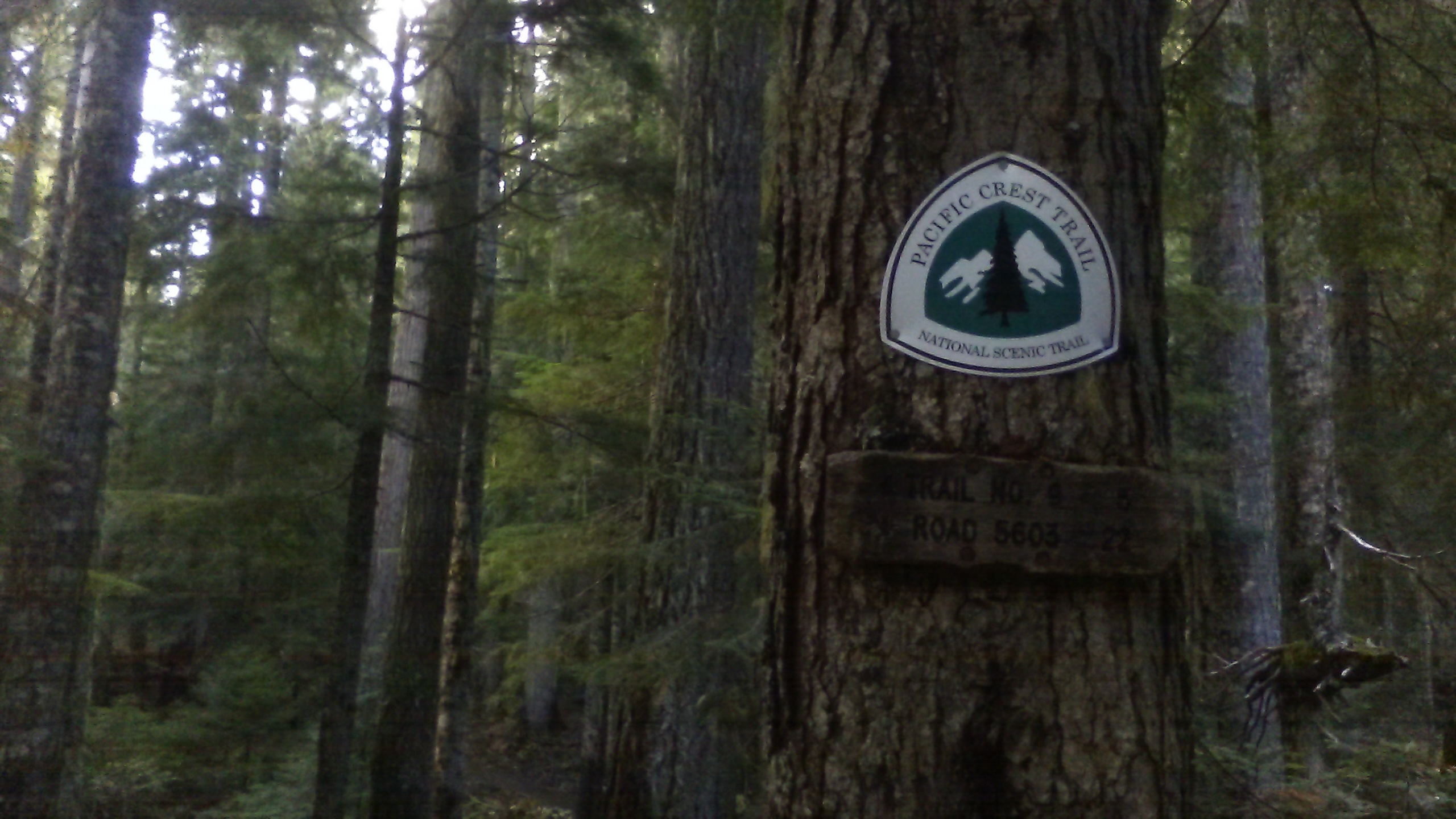
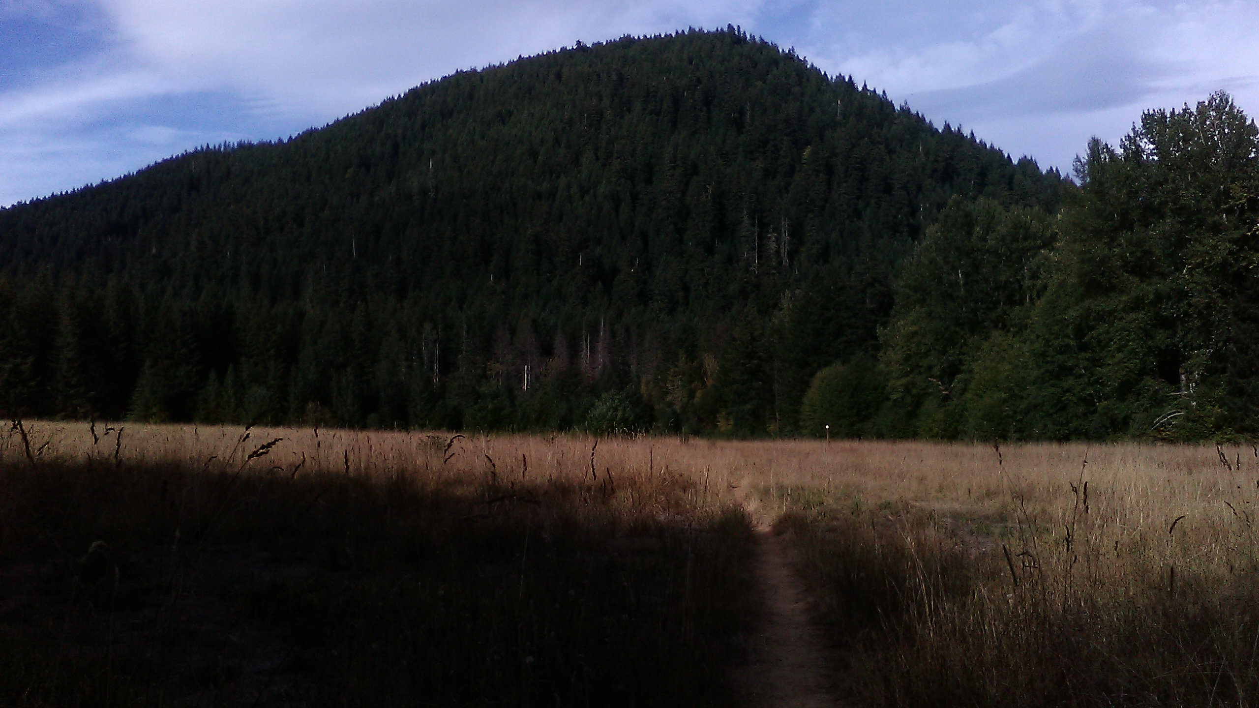
After less than an hour, thick clouds are covering most if the sky again. It is time to get going. The trail continues through mostly flat terrain under a hill named Potato Butte, crosses a gravel road, and passes a wilderness information panel. Various kinds of fungi are growing along the trail. The forest air is cool and damp. Shortly after the information panel, raindrops are starting to fall again.


I am continue hiking past several small lakes and enter the Goat Rocks Wilderness area. Then the trail leads me slightly uphill to a flat ridge with a tiny lake. It us not obvious if raindrops are falling from the sky or from the trees or both. Near the little lake there is and established campsite, where I set up the tarp to stay dry and also build tged bivy tent under the tarp for extra warmth. It is completely dark when I crawl inside, having walked my record daily distance on the PCT: 29 miles.